
ၾၢႆႇ:Mexico location map.svg

Size of this PNG preview of this SVG file: 800 × 522 ၽိၵ်ႉသႄႇလ်. resolutionsတၢင်ႇဢၼ် : 320 × 209 ၽိၵ်ႉသႄႇလ် | 640 × 418 ၽိၵ်ႉသႄႇလ် | 1,024 × 668 ၽိၵ်ႉသႄႇလ် | 1,280 × 835 ၽိၵ်ႉသႄႇလ် | 2,560 × 1,670 ၽိၵ်ႉသႄႇလ် | 2,028 × 1,323 ၽိၵ်ႉသႄႇလ် ။
ၾၢႆႇငဝ်ႈတိုၼ်း (ၾၢႆႇ SVG, ၸိုဝ်ႈ 2,028 × 1,323 pixels, သႅၼ်းၾၢႆႇ : 600 KB)
ႁူဝ်ႁုပ်ႈ
| ၶေႃႈသပ်းလႅင်း |
Deutsch: Positionskarte von Mexiko
Quadratische Plattkarte, N-S-Streckung 110 %. Geographische Begrenzung der Karte:
Español: Mapa de la ubicación de México
Proyección equirectangular, N / S se extiende al 110 %. Límites geográficos del mapa:
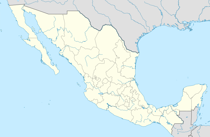
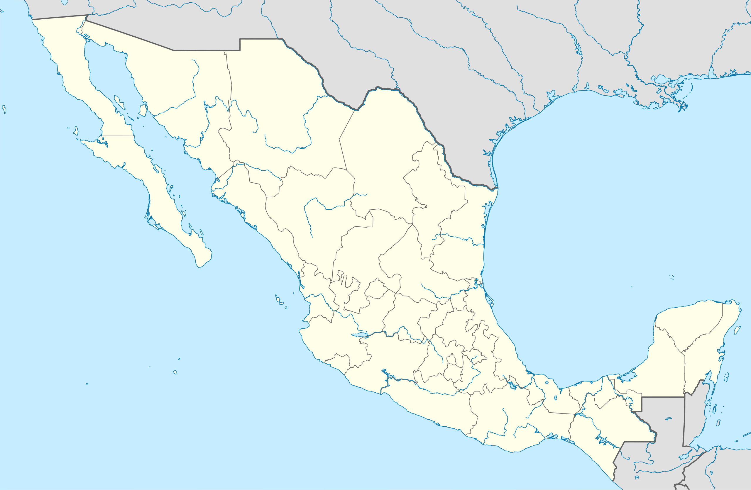
English: Location map of Mexico
Equirectangular projection, N/S stretching 110 %. Geographic limits of the map:
Հայերեն: Մեքսիկայի տեղորոշման քարտեզ
Ուղղանկյուն պրոյեկցիա, Հյուսիս-Հարավ ձգվածությունը՝ 110%։ Քարտեզում աշխարհագրական սահմանները.
|
| ဝၼ်းထီႉ | 11-03-2009 |
| ငိူၼ်ႈငဝ်ႈတိုၼ်း |
own work, using
|
| ၽူႈတႅမ်ႈလိၵ်ႈ | NordNordWest |
| Other versions |
Derivative works of this file: Islands of Mexico.svg
|


|
This map has been made or improved in the German Kartenwerkstatt (Map Lab). You can propose maps to improve as well.
|
ဝ်ႂ
I, the copyright holder of this work, hereby publish it under the following licenses:

|
ပၼ်ၶႂၢင်ႉ တႃႇတေ ထုတ်ႇဢဝ်၊ ၽႄႈတိုၼ်း လႄႈ/ဢမ်ႇၼၼ် မႄးထတ်း ၼႂ်းလိၵ်ႈၼႆႉ ၸွမ်းၼင်ႇ ၶေႃႈမၼ်ႈၸႂ် GNU Free Documentation License, Version 1.2 ဢမ်ႇၼၼ် ၸိူဝ်းပဵၼ် မၢႆဢွၵ်ႇ ဢၼ်ထုၵ်ႇပိုၼ်ဢွၵ်ႇ ဝၢႆးလင် ၼင်ႇ Free Software Foundation; ဢၼ်ဢမ်ႇမီး လွင်ႈလႅၵ်ႈလၢႆႈ ၵႃႈတီႈ တွၼ်ႈၵၼ်၊ လိၵ်ႈၸိူဝ်းမီးတီႈ ၼႃႈသိုဝ်ႈၽၢႆႈၼႃႈ၊ ၼႃႈသိုဝ်ႈၽၢႆႇလင်။ဢၼ်ပဵၼ် ဝႂ်တႃႇထုတ်ႇဢဝ်ၼႆႉ မၼ်းတေၶဝ်ႈပႃးဝႆႉ ၵႃႈတီႈ တွၼ်ႈၵၼ် ဢၼ်မီးႁူဝ်ၶေႃႈဝႃႈ GNU Free Documentation License ၼၼ်ႉ။ |
This file is licensed under the Creative Commons Attribution 3.0 Unported license.
- ၸဝ်ႈၵဝ်ႇထၢင်ႇႁၢင်ႈ
- တႃႇၽႄၸႂ်ႉ – တွၼ်ႈတႃႇထုတ်ႇဢဝ်၊ ပိုၼ်ၽႄႈ လႄႈ ပိုၼ်ဢွၵ်ႇပၼ် ၼႃႈၵၢၼ်။
- ၶိုၼ်းထႅမ်သႂ်ႇ – မႄးထွင်ၵၢၼ် ႁႂ်ႈသၢင်ႇထုၵ်ႇ
- ၸွမ်းၼင်ႇ သၢႆႇငၢႆတီႈတႂ်ႈၼႆႉ
- ႁၢင်ႈၽၢင်ၶဝ်ႈပႃး – ၸဝ်ႈၵဝ်ႇတေလႆႈမွၵ်ႇပၼ်ၸိုဝ်ႈ ဢၼ်သၢင်ႇထုၵ်ႇ တွၼ်ႈတႃႇ ႁဵင်းၵွင်ႉ ဢၼ်ၵမ်ႉထႅမ်ပၼ် ဝႂ်ၶႂၢင်း လႄႈ သင်ၸိူဝ်ႉဝႃႈ လႆႈမီးလွင်ႈလႅၵ်ႈလၢႆႈမႃးၼႆ ၶႅၼ်းတေႃႈ ၸီႉၼႄပၼ်သေၵမ်း။ ၸဝ်ႈၵဝ်ထုၵ်ႇလီႁဵတ်း ႁႂ်ႈပဵၼ်တၢင်းႁဵတ်းသၢင်ႈ မီးလွင်ႈမီးတၢင်းမၼ်း၊ ၵူၺ်းၵႃႈဝႃႈ မၼ်းဢမ်ႇမၢႆထိုင်ဝႃႈ ဝႂ်ၶႂၢင်းၼၼ်ႉ မၼ်းတေပဵၼ် ဢၼ်ၸွႆႈဢၼ်ၵမ်ႉထႅမ်ပၼ် ၸဝ်ႈၵဝ်ႇ ဢမ်ႇၼၼ် ဢၼ်ၸဝ်ႈၵဝ်ႇၸႂ်ႉဝႆႉၼၼ်ႉ။
ၸဝ်ႈၵဝ်ႇထုၵ်ႇလိူၵ်ႈ ဝႆတွၼ်ႈတႃႇ ဢၼ်ၸဝ်ႈၵဝ်ႇလိူၵ်ႈၼၼ်ႉ
ပိုၼ်းၾၢႆႇ
တဵၵ်းၼိူဝ် ဝၼ်းထိ/ၶၢဝ်းယၢမ်း တႃႇႁၼ်ၾၢႆႇ ၼႂ်းဝၼ်းၼၼ်ႉ
| ဝၼ်းထီႉ/ၶၢဝ်းယၢမ်း | ႁၢင်ႈလဵၵ်ႉ | သႅၼ်းမၼ်း | ၽူႈၸႂ်ႉတိုဝ်း | တၢင်းႁၼ်ထိုင် | |
|---|---|---|---|---|---|
| ယၢမ်းလဵဝ် | 14:04, 24 ၸူႇလၢႆႇ 2012 | | 2,028 × 1,323 (600 KB) | NordNordWest | upd |
| 18:34, 11 မၢတ်ႉၶျ် 2009 |  | 2,029 × 1,326 (861 KB) | NordNordWest | {{Information |Description= {{de|Positionskarte von Mexiko}} Quadratische Plattkarte, N-S-Streckung 110 %. Geographische Begrenzung der Karte: * N: 33.3° N * S: 14.2° N * W: 118.5° W * O: 86.3° W {{en|Location map of [[:en:Mexico|Mexico |
လွင်ႈၸႂ်ႉတိုဝ်း ၾၢႆႇ
ၼႃႈလိၵ်ႈ ၵွင်ႉမႃးၸူးၾၢႆႇၼႆႉ:
လွင်ႈၸႂ်ႉတိုဝ်းၾၢႆႇလူမ်ႈၽႃႉ
Wikis ၸိူဝ်းဢၼ်ၸႂ်ႉဝႆႉ ၾၢႆႇဢၼ်ၼႆႉ:
- ၸႂ်ႉဝႆႉ af.wikipedia.org
- ၸႂ်ႉဝႆႉ als.wikipedia.org
- ၸႂ်ႉဝႆႉ an.wikipedia.org
- Ciudat de Mexico
- Tequixquiac
- Pachuca de Soto
- Apaxco
- Apaxco de Ocampo
- Acapulco de Juárez
- Jaltenco
- Zumpango (municipio)
- Nextlalpan
- Hueypoxtla (municipio)
- Naucalpan de Juárez
- Amecameca
- Tijuana (municipio)
- Acambay
- Toluca (municipio)
- Acolman
- Tonanitla
- Atizapán de Zaragoza
- Ecatepec de Morelos
- Tecate (municipio)
- Mexicali (municipio)
- Playas de Rosarito
- Municipio de Ensenada (Baixa California)
- Atlacomulco
- Aculco
- Ixtapaluca
တူၺ်း ၾၢႆႇmore global usage ဢၼ်ၼႆႉ